

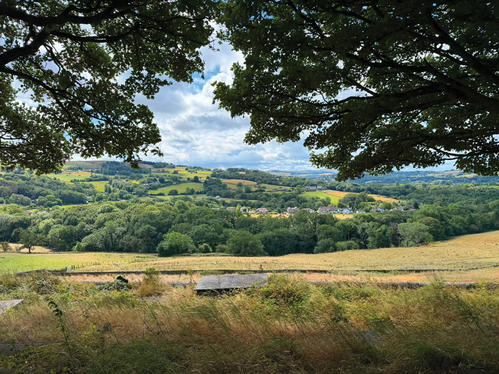
A six-mile walk through the Peak District fringe, taking in rolling farmland, ancient churchyards, sweeping Kinder views, and a handful of quintessential Derbyshire surprises.
There are walks that simply get you from A to B, and then there are walks that feel like a privilege. The Rowarth Circular, a six-mile loop on the edge of the Peak District, is firmly in the latter camp. Winding through farmland, wooded valleys and high ground with far-reaching views, it showcases some of Derbyshire’s finest scenery in a surprisingly compact route.
Getting There
Start from the car park in Rowarth. From the outset, quiet lanes and open countryside set the tone for the miles ahead.
The Opening Miles: Lanes, Farms and Hidden Stiles
Turn left out of the car park and right at the crossroads towards New Mills. At the Children’s Inn, turn left and follow the road through the field to Hollins Farm.
At the farm, bear right on the public footpath, passing a gate ahead and a stile to the left. After around 300 yards, cross a stile on the left at a gate and continue straight ahead. At the next metal gate, turn right just before it, following the small yellow footpath sign fixed to a tree.
A further 200 yards brings a wooden stile into a field sometimes occupied by livestock. Cross the field, then continue over another wooden stile and a stone stile to reach the main road.
Back Towards Rowarth: The Big Gate and Hill Top Meadows
Turn left along the road and then right through a large metal gate onto a track. Follow the public footpath across the field and through an open gate between two pylons.
Cross a stone stile and continue ahead towards a large building with floor-to-ceiling windows. A small sign reminds walkers to be mindful of nesting birds, while a broken section of wall provides easy passage.
At the next stile, turn right towards the house. Cross the road into Hill Top Meadows, an attractive barn conversion with a ménage to the left. Return to the road, turn left, then left again on the bend towards Fold Farm.
Through the Fields and Down to Mellor Church
Pass through the gate beside the stone wall and continue towards the trees.
The descent ahead is one of the highlights of the walk. Head directly downhill with a stone wall on your right and Mellor Church visible below. It is a scene of classic English countryside charm.
Continue past the Vicarage and through the churchyard. Beyond the church entrance, turn left down steps towards a small vineyard hidden away beneath the church grounds. Keep left along the road with houses to your right.
After roughly 200 yards, turn left into the woods. Cross over the stream at the bottom of the dip and climb the steps opposite. At the road below, cross and continue straight ahead.
The Valley Road and the Climb to Brookbottom
Follow the path on the opposite side, initially tarmac and then gravel. At the bottom, cross a small stream and turn right between a house and garage. Although a sign reads “Private Property”, the public right of way passes through here.
Turn left up the steps and follow signs for Brookbottom via Tarden and The Banks. Cross a stile and continue uphill on the stony path.
Pass horses and Tarden Farm Stables before emerging onto a road. Turn left on the track beyond three mature trees and continue past the golf club. Ignore the right turn at the next junction and carry straight on. At the fork, keep right.
Near the top of the golf course, a bench provides an excellent excuse to pause and admire the view towards Mellor Cross.
The High Ground: Kinder Views and the Golf Club Stretch
Leave the golf club and turn left up the tarmac track. As the ground rises, the views expand dramatically. Mellor Cross remains on your right, while Kinder Scout dominates the horizon ahead on a clear day.
After around half a mile, turn right at a T-junction. At Pole Lane, beside Kinder View Stables, turn left and continue past the water storage mound.
At How Green, take the track to the right, marked with a public footpath sign, and follow it downhill towards the farm. Near the house, bear right along the track. Pass a barn, continue through a metal gate and traverse a play area where goats occasionally provide an unexpected and rather entertaining welcome.
The Return: Fields, Inn and the Final Stretch
A large metal gate marks the next stage. Cross the field to a stile, then bear right over another. Lovely views open out to the right, while the Nursery Inn appears ahead, a reassuring sight at this stage of the walk.
Cross another stile and pass a collection of unused machinery before heading towards the right-hand corner of the field. Beyond the next stile, aim for the telegraph pole and the farm buildings visible among the trees left of the Children’s Inn.
Pass the pole and a garden swing before going through a gate in the trees that is showing its age and warrants a little care. Continue to the house and follow the drive down to the road, passing an old farm building.
From the Children’s Inn, retrace your steps to the Rowarth car park, completing a circuit that takes in farmland, woodland, a historic church, hidden vineyard, Kinder views and peaceful valley paths. It is Derbyshire walking at its finest: varied, scenic and rewarding from beginning to end.
Distance: Approximately 6 miles
Terrain: Lanes, field paths, woodland tracks and a few steep sections
Footwear: Walking boots recommended
Best Conditions: Dry weather, when stiles and field crossings are easiest to negotiate
Poynton Rambling club leads walks every Wednesday & Sunday & shorter evening walks on Mondays & Thursdays in the summer. For further information please visit www.poyntoramblingclub.co.uk